I am a geographer and photographer based in Tucson, Arizona. I study policing and (in)security in the United States. I am especially interested in the infrastructural dimensions of police power, particularly the capacity of policing—as a spatial technology—to produce and shape social landscapes in a variety of contexts, from border regimes to housing markets to a range of affective economies. I am currently a PhD student in the School of Geography, Development & Environment at the University of Arizona. More info here and here.
My work includes an ongoing project to produce a visual archive of security infrastructure (beginning) in the US-Mexico Borderlands. Since 2023, I have been studying and documenting the rapidly expanding 'system of systems' of U.S. border surveillance and security infrastructure along the length of the U.S./Mexico border and beyond. Originally in collaboration with Colter Thomas (another photographer), and guided by the Electronic Frontier Foundation’s publicly accessible map of U.S. Customs and Border Protection surveillance technologies—a map to which I am also contributing through my work—and other collaborations, I use photography, mapping, ethnography, archival work, and other tools to look closely at the infrastructural project of producing and policing borders.
A selection of photographs from this work is available on this site, here. Other images, writing, and publicly-available resources are all in progress. If you are a researcher, artist, advocate, journalist, or anyone else who cares about the borderlands and the people who move through them and my work might be useful to you, I hope you'll get in touch.

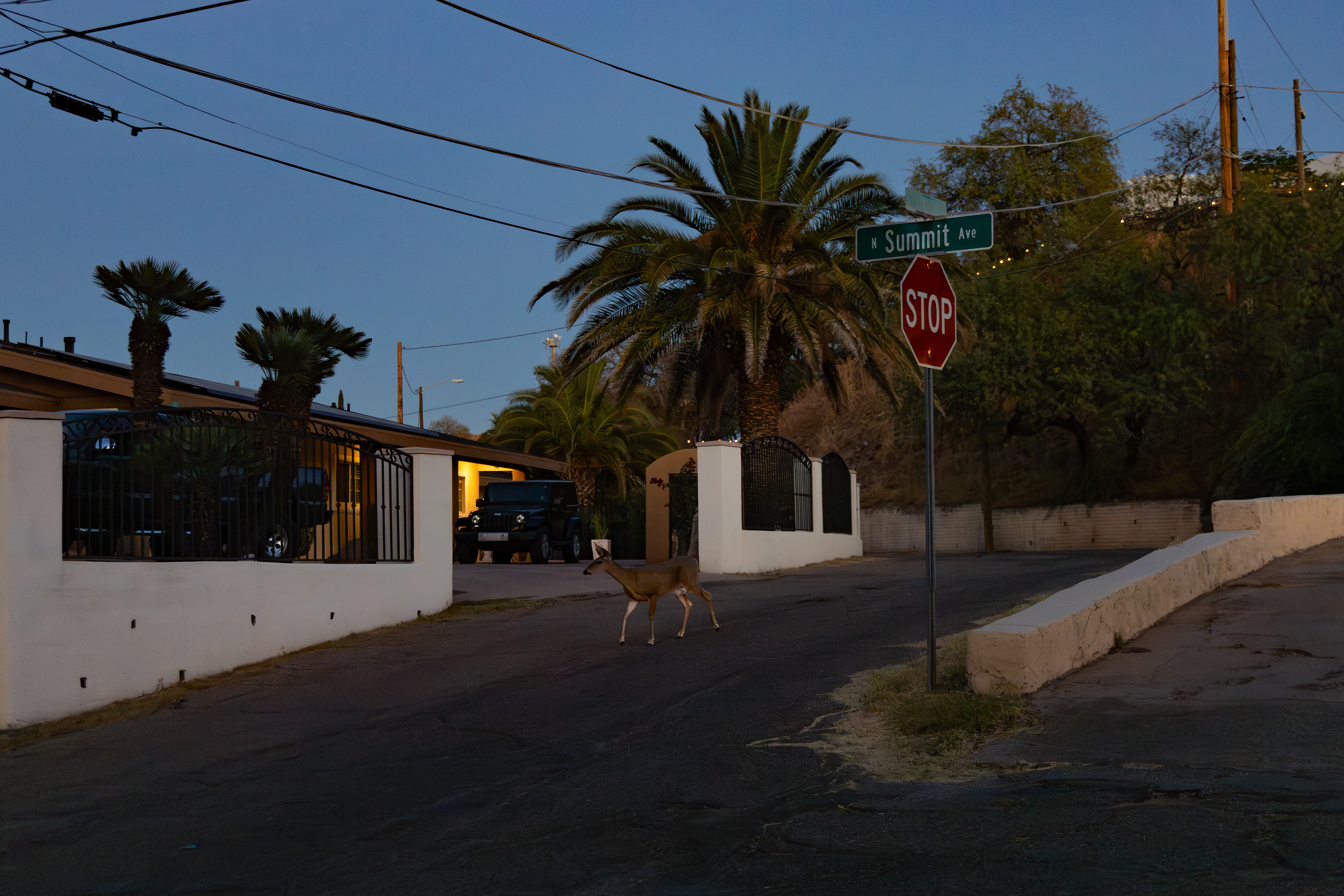
Remote Video Surveillance System (RVSS); 31.334811, -110.933093 (Nogales, Arizona); Digital photograph; October 2024.

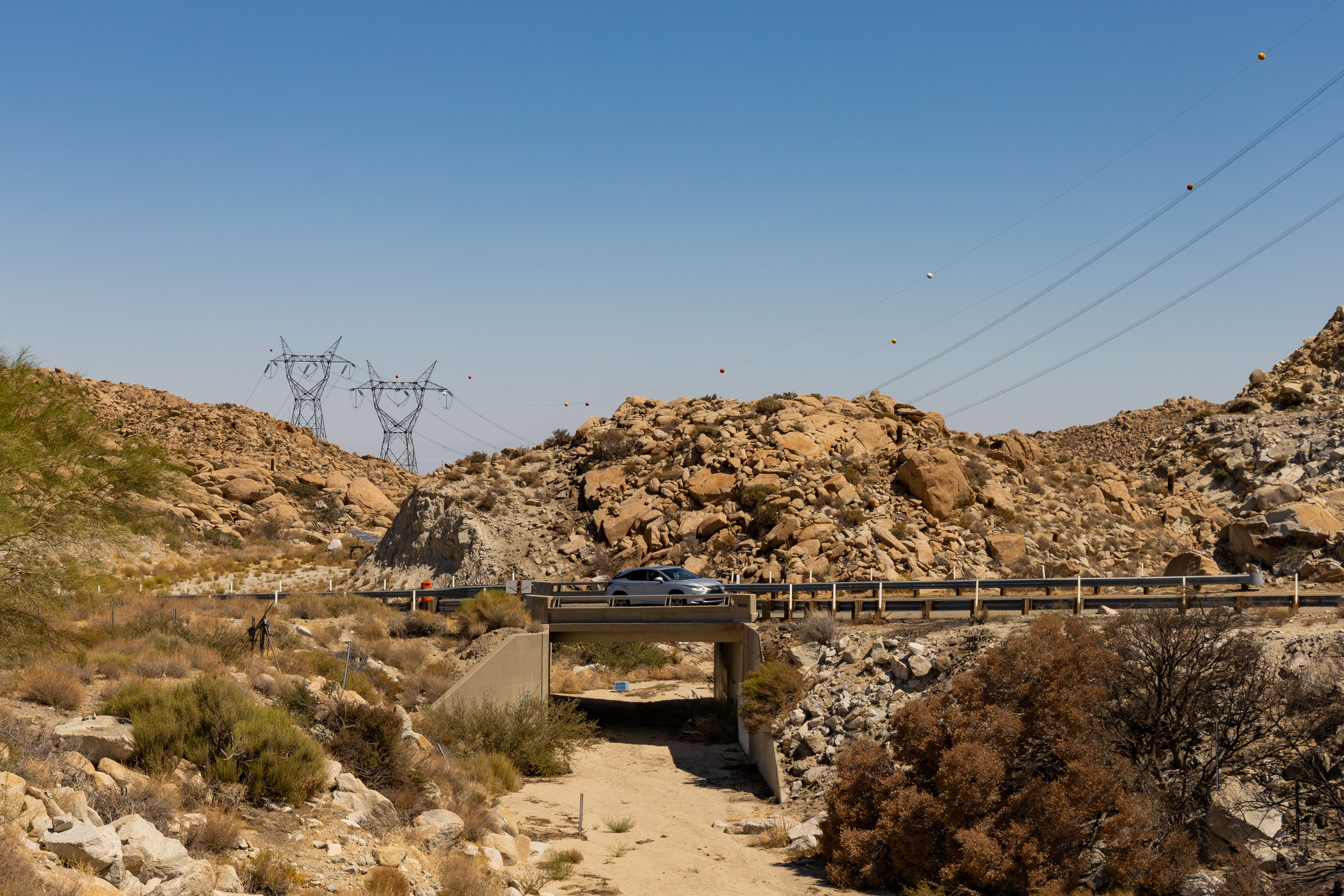
Automated license plate reader (ALPR) system disguised as a traffic construction barrel on the east side of westbound I-8; 32.656306, -116.098472 (Boulder Park, California); Digital photograph; September 2024.

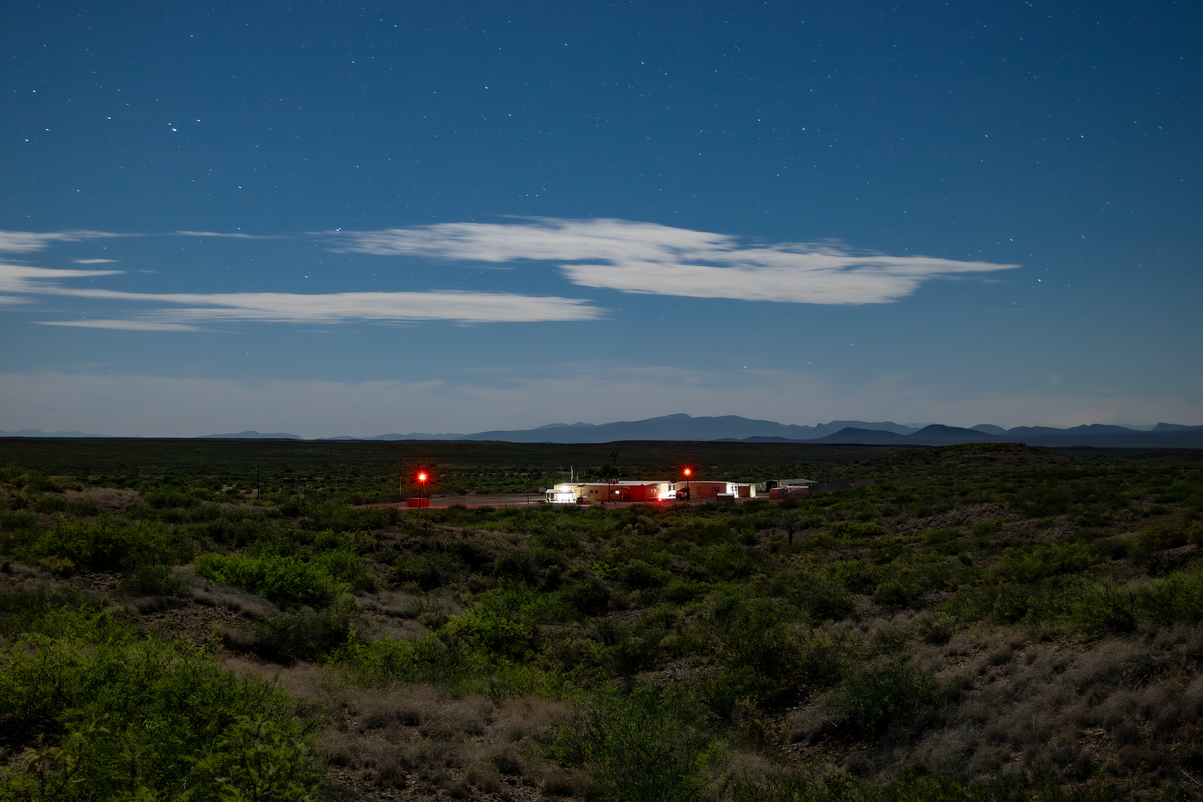
U.S. Border Patrol's Hedglen Forward Operating Base (FOB); 31.371331, -109.210230 (Cochise County, Arizona); Digital photograph; May 2024.
A map made by Matthew Marcus, PhD, and me for an exhibition I organized with Colter Thomas at the University of Arizona in April 2024. Because we are constantly mapping more infrastructure as we find it, this map is out of date. For the most current information, see the Electronic Frontier Foundation's map, here.
Some of this work has been made possible thanks to funding provided by the Confluencenter for Creative Inquiry and the Mellon Foundation, as well as the W.A Franke Honors College; the Graduate & Professional Student Council; the School of Geography, Development & Environment; and the Binational Migration Institute at the University of Arizona.